The Trail
Day One
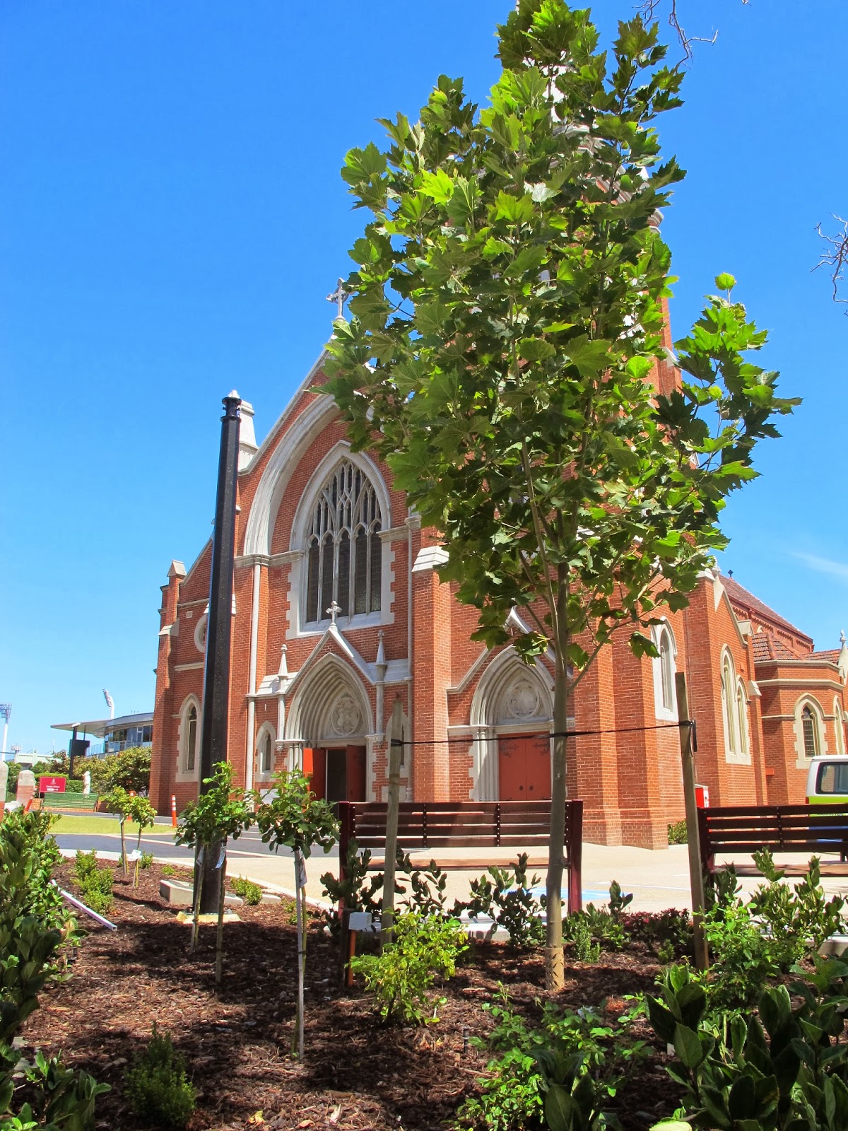
St Joseph’s Church Trail Head
St Josephs Church, Subiaco is the site of the original Trail Head of the Camino Salvado® which began in 2009. Follow the Trail up to the lookout in Kings Park for a stunning view over the city and the Swan River, it’s a small detour but one you should make. Then head down through the CBD along St George’s Terrace and take a moment to look inside St George’s Cathedral – it’s beautiful. Whilst on the other side of the road is the WA Governor’s Residence. Turn left on Victoria Avenue and walk up to St Mary’s Cathedral – a great amalgam of the old and the new. Continue down Wellington St and cut across Wellington Square to follow Royal Street – and some fine coffee shops – to East Perth where you cross over at Claisebrook before following the river trail past Mercy Hospital. The Pilgrim Trail™ follows the river until reaching the heritage town of Guildford. For the adventurous (and thirsty) there is a camp site next to a micro brewery! (see map)
distance
23.2km
DURATION
8 DAYS
AVAILABILITY
–20–
Day Two
Swan Valley
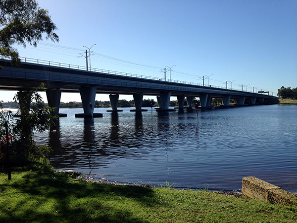
The Pilgrim Trail™ leaves Guildford along West Swan Road through the Swan Valley. After crossing Great Northern Hwy, the trail follows Railway Parade until reaching Cathedral Ave. Head East along the Swan / Avon River up to Bells Rapids. Here, the trail heads into the beautiful Walyunga National Park. Camping is possible but only after prior arrangement with the ranger. Contact DPaW. Phone 08 9571 1371
Please note: Mobile Phone connection is not reliable in Walyunga Park
DISTANCE
24km
DURATION
8 DAYS
AVAILABILITY
–20–
Day Three
Walyunga National Park
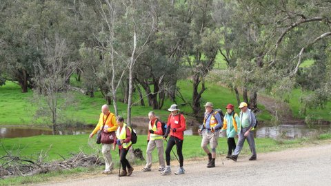
Follow the Pilgrim Trail™ markers north through Walyunga National Park before heading east along Stock Road – which is a 50 meter strip of gazetted land (currently used as grazing land by the local landowner) that runs due east from the exit point of Walyunga. It is signed. – to Shady Hills View in the Chittering Valley, a pretty area of rolling hills. Please remember to close all gates behind you! Have fun working out how the “Cocky Lock” on the western gate works! The day’s end is in the Avon National Park where there is the possibility of free camping – BUT NO WATER OR FACILITIES, so please, LEAVE NO TRACE
Good camping and facilities are available at Peace Be Still (see map)
Please note: Mobile Phone connection is not reliable in Walyunga Park.
DISTANCE
24.3km
DURATION
8 DAYS
AVAILABILITY
–20–
Day Four
Avon Valley
The views are spectacular, but first you have to climb a long slope to get there!
ALL WATER MUST BE CARRIED
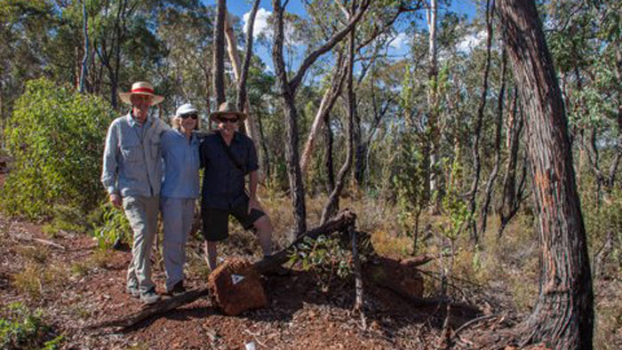
In 2017 we have re-aligned the Trail to take advantage of walking through another wonderful Reserve in the Avon Valley – Moondyne Reserve. The new route takes walkers away from the edge of the road and up into the valley of the Avon National Park. This offers some great views and wonderful flora too. The end of this section brings you onto Bindoon Dewars Pool rd opposite Julimar State forest.
There is a camping area at the end of this day but there is no water and no facilities.
LEAVE NO TRACE
distance
22.8km
DURATION
8 DAYS
AVAILABILITY
–20–
Day Five
Julimar Forest
CURRENTLY NO AVAILABLE WATER SOURCES
PLEASE CARRY ALL THE WATER YOU NEED
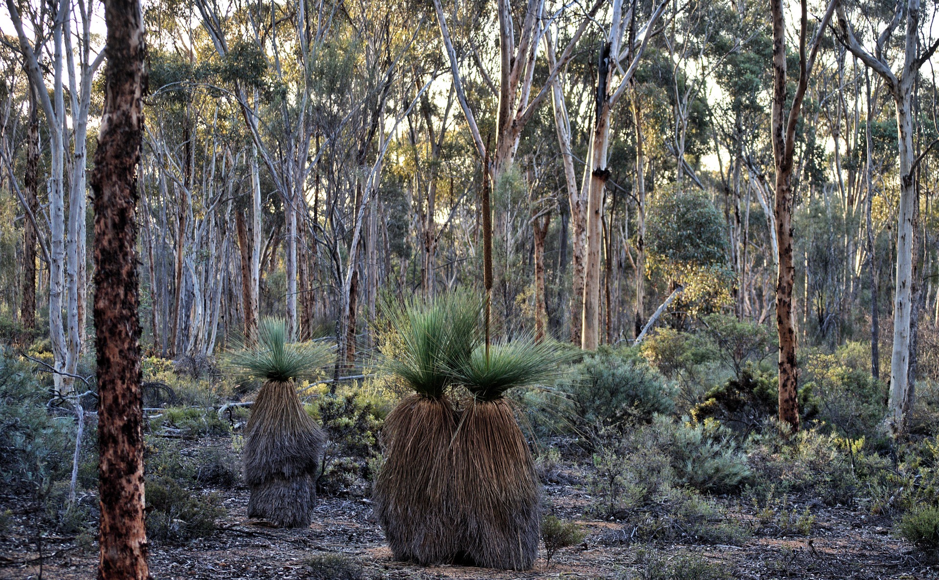
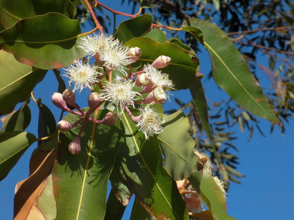
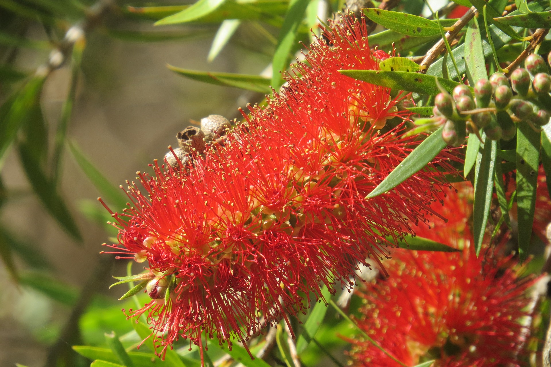
The Trail winds through the beautiful Julimar forest which is wonderful in the spring time with all the native flowers. Enjoy.
Please note: Mobile Phone connection is not reliable in Julimar Forest
There are potential areas for free camping, but there are no facilities and no water.
LEAVE NO TRACE
Enter Julimar forest at Ferguson Road about 1.5kms west of Plunkett Road. Ferguson Rd heads northeast to link with Heine Rd, and then onto Cooks Road (11kms from start). Take a right heading East along Cooks Road for about 4.5km. There, several trails meet but the sign is well marked so keep your eyes open for the Pilgrim Trail™ signs. After about 3.5km you will reach Munyerring Road – there’s an option to free camp here for the night. Head Right following Munyerring Road about 4.5km to Dewars Pool Road.
distance
22km
DURATION
8 DAYS
AVAILABILITY
–20–
Day Six
Julimar Forest
Please note: Mobile Phone connection is not reliable in Julimar Forest
CURRENTLY NO AVAILABLE WATER SOURCES
PLEASE CARRY ALL THE WATER YOU NEED
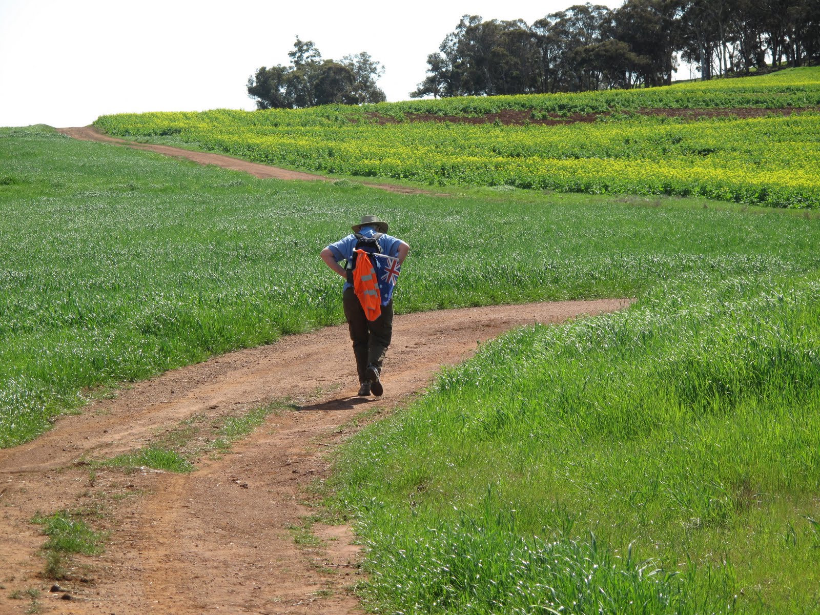
Cross Dewars Pool Rd and walk West for about 100 meters and you’ll see the marker pointing north up a well graded track: follow this until you reach the Buffer Zone – again this can provide a site for free campers. The Buffer Zone is about 50 meters wide and there is a firebreak along the northern boundary next to the fenced off Military area. Walk east along this section until the fence turns due north. Follow the fence line north for about 2.6kms where the trail turns east (it is marked) and follow that trail until you exit via Bulligan Road. It’s an easy walking track with State forest on one side and open pasture on the other! Follow Bulligan Road until you reach the sign for Old Plains road. Turn north and and follow it until you reach the Pither Road turn and the Pither Road Reserve where there is the possibility for free camping on the western side of the Old Plains Road.
LEAVE NO TRACE
distance
24km
DURATION
8 DAYS
AVAILABILITY
–20–
Day Seven
Old Plains Rd
Please note: Mobile Phone connection is not reliable in this area.
CURRENTLY NO AVAILABLE WATER SOURCES
PLEASE CARRY ALL THE WATER YOU NEED
On reaching Bulligan Road, look out for Pilgrim Trail signs on rocks, logs and trees
There is a good camp site at Carrah Farm which is marked on the map. Please contact owners.
Follow the Old Plains Road north. You are now almost there. This is an easy days walk of about 18kms and should set you up nicely for your final entry into New Norcia tomorrow.
distance
18km
DURATION
8 DAYS
AVAILABILITY
–20–
Day Eight
New Norcia
The creation of the New Norcia By-Pass has dramatically shortened the time needed to walk the reserve at the edge of the Great Northern Highway but you will still need to cross the Highway. THIS IS A VERY BUSY ROAD AND EXTREME CARE NEEDS TO BE TAKEN CROSSING IT.
The western side of the Highway offers the greatest distance from the traffic although there is a short section where you need to stay alert! ALWAYS FOLLOW THE ROAD RULES.
Distance
28km
DURATION
8 DAYS
AVAILABILITY
–20–
The Monastery settlement of New Norcia is unique in Australia, and it’s where the Trail ends. Please be aware that this is a very fragile environment and all overnight Accommodation has to be booked well in advance – months in advance during the walking season – as casual vacancies do not normally exist. Also, if you haven’t booked accommodation at New Norcia it is essential that you organise transport out of the settlement as public transport is not available. Please help us to protect this fragile environment and respect the wonderful heritage of New Norcia.
*PLEASE NOTE:
You agree that you undertake the walk entirely at your own risk and will not hold others responsible or liable for any loss, injury, claim, liability or damage of any kind whatsoever, for the duration of the trail
You understand that the walk involves sustained physical exercise in some remote areas, and that you are responsible for your own fitness and for consulting a doctor about your participation if necessary.
You understand that the Trail may need to be re-routed in the event of hazards including extremes of weather, fire, flood or path instability. In such instances, as much notice as possible will be given, and any necessary alterations will attempt to preserve the nature of the trail.